


This website has been archived from TrainWeb.org/evrailfan to TrainWeb.US/evrailfan.
|
Maps |
|
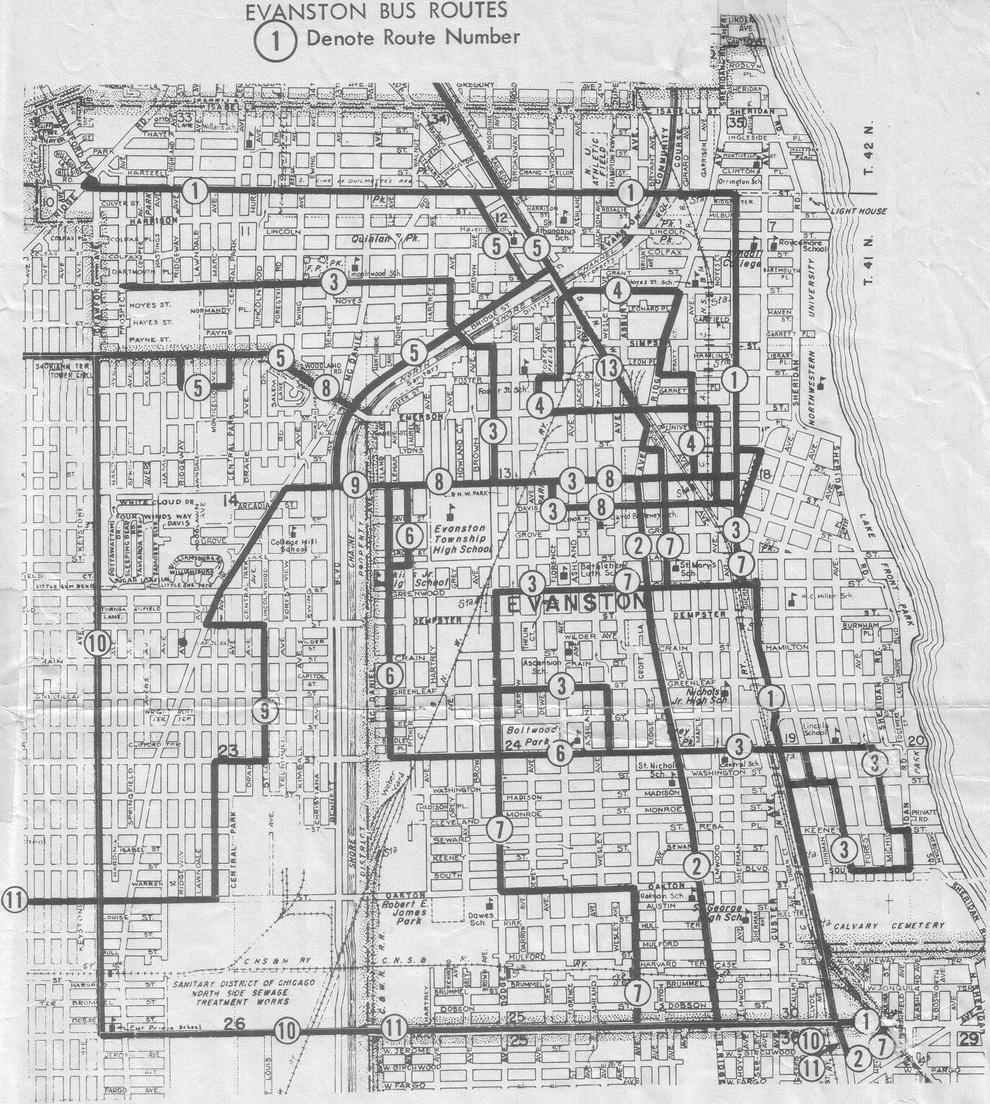
This page contains several maps of Evanston showing the routes of rail lines and the locations of railroad staions. Click on the map images for much larger versions.
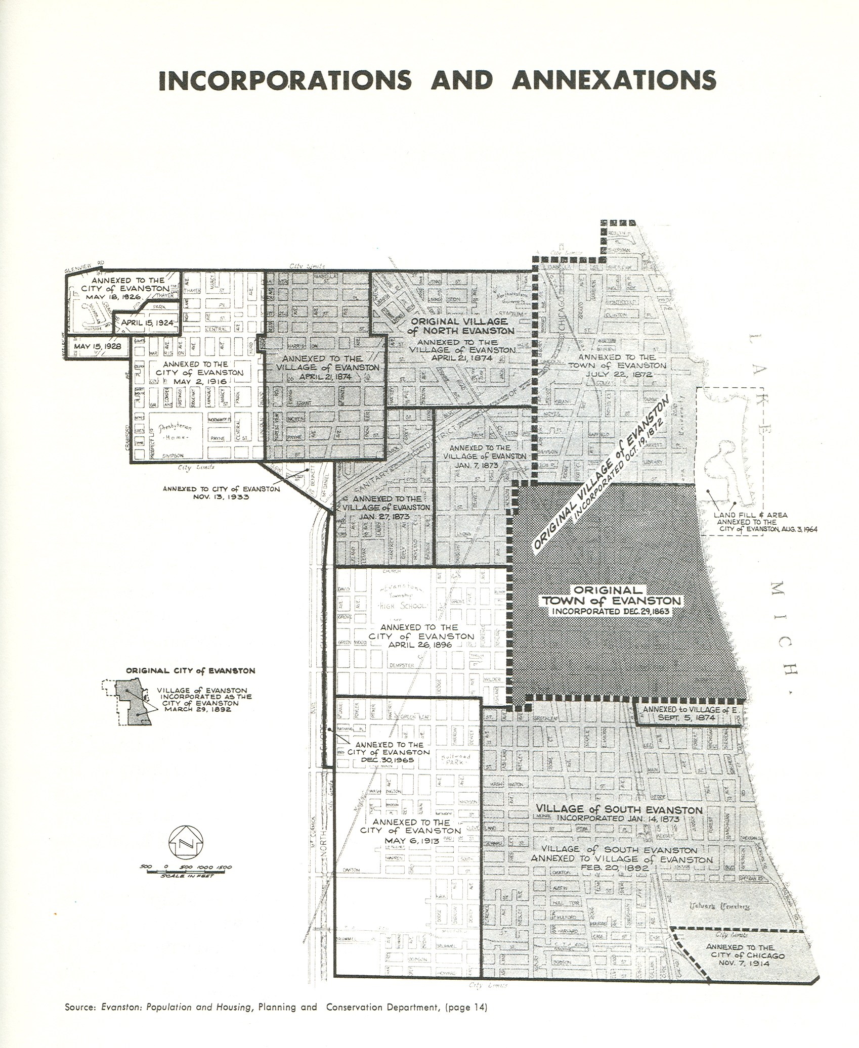
This first map is provided for historical
context:
several of
the railroad lines ran in areas which were either separate villages or
completely unincorporated.
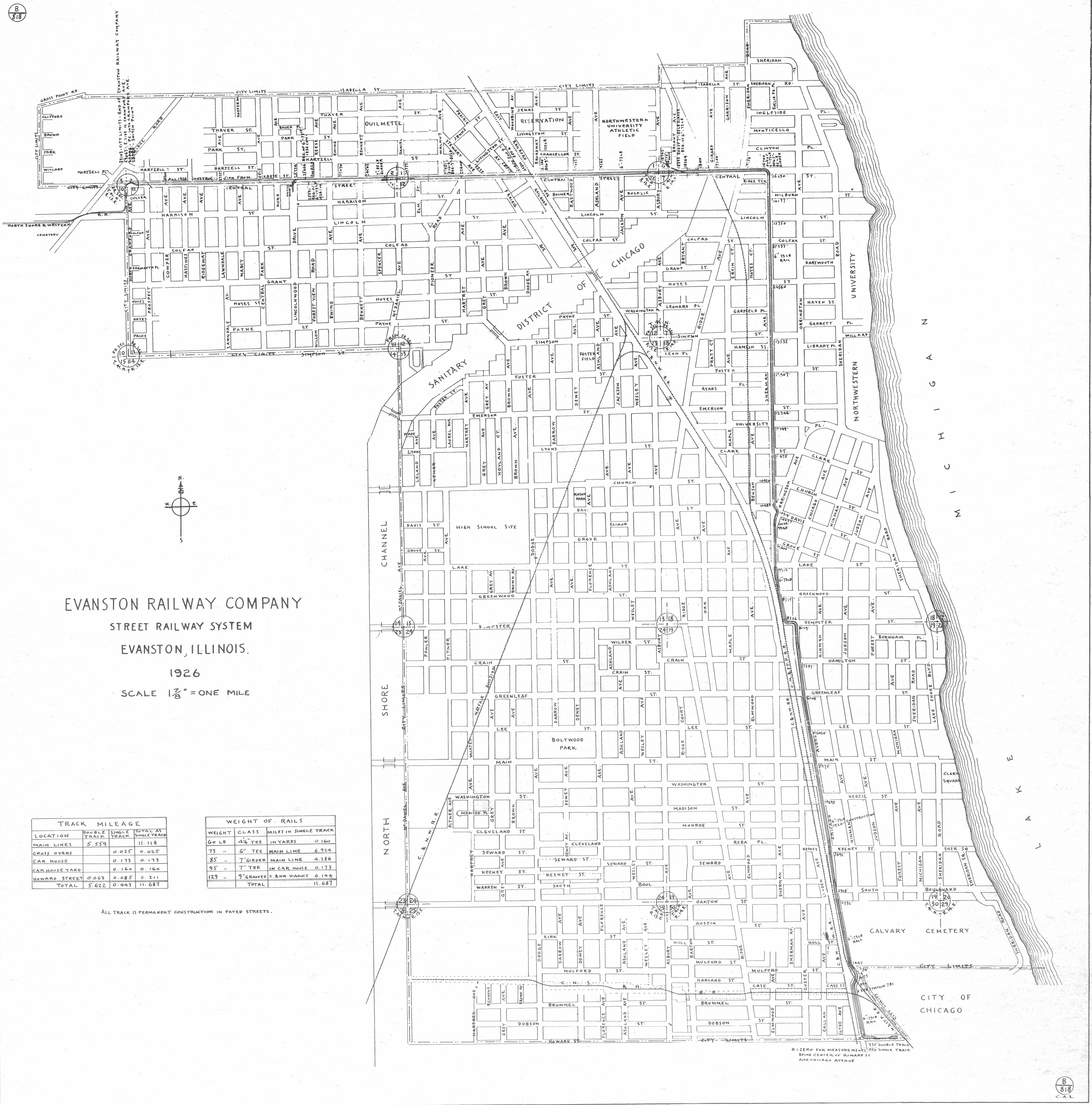
This map shows the routes taken by all of the railroads that served Evanston at the peak of railroad service. From James Buckley's The Evanston Railway Company.
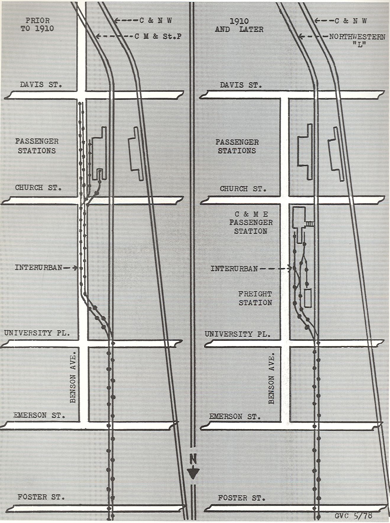
This next map shows
the
arrangement of the railroads in downtown Evanston both before and after
the track elevation was completed in 1910. Map from George Campbell's North Shore Line Memories,
p. 64.
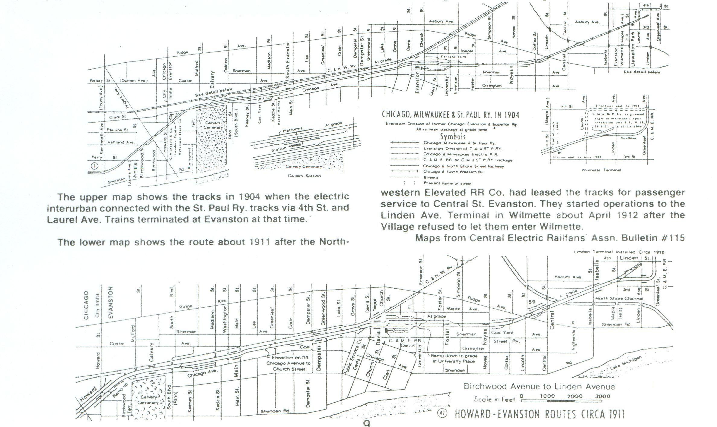
Here is another view
of the pre- and
post-elevation routing of the Chicago, Milwaukee and St. Paul's tracks:
|
|